The Schuylkill River Water Trail has received a major federal upgrade, giving Montgomery County another reason to celebrate, writes Ron Devlin for The Republican Herald.
U.S. Secretary of the Interior Doug Burgum recently designated the Schuylkill River Water Trail as a National Water Trail, making it the first in Pennsylvania to receive the honor.
The announcement came on National Trails Day, June 6, timed to Great Outdoors Month. While the trail had previously held National Recreation Trail status, the new National Water Trail designation is a separate, higher-tier federal recognition.
This places the Schuylkill among just 40 such trails in the entire country. The 120-mile paddling route follows the Schuylkill River from the headwaters near Tuscarora to the Delaware River, passing through five counties, including Montgomery County.
The designation recognizes the trail’s recreational value, public access, stewardship, conservation efforts, and connections to local communities.
What the Designation Means
“Schuylkill River Greenways is honored and proud to have the Schuylkill River recognized as the very first National Water Trail in Pennsylvania,” said Elaine Schaefer, executive director of Schuylkill River Greenways. “This news is especially exciting and poignant as we are on the eve of setting out on our 28th Schuylkill River Sojourn.”
The Sojourn, the Heritage Area’s signature annual event, sends more than 250 paddlers on a guided 112-mile kayak and canoe trip from Schuylkill Haven to Philadelphia.
This year’s event makes the new designation feel particularly well-timed.
Access Points in Montgomery County
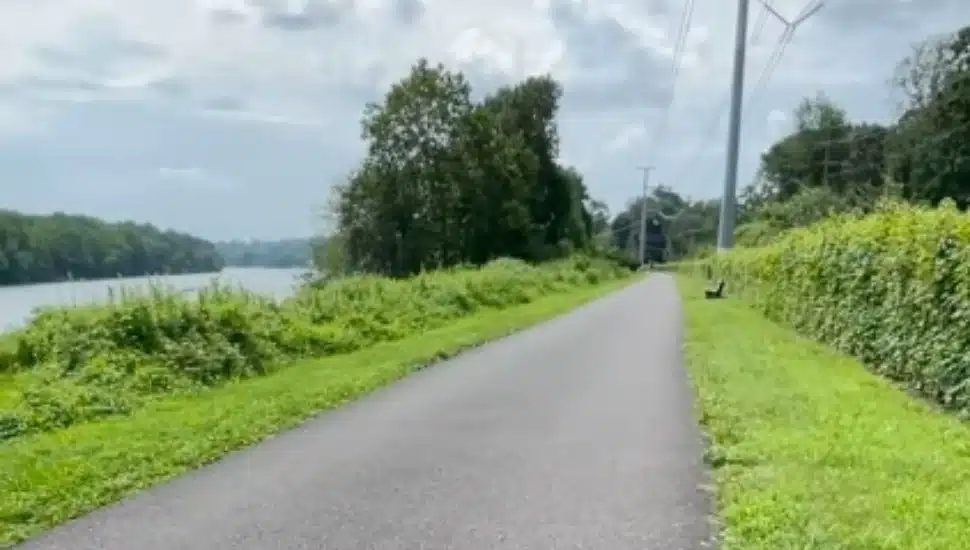
For Montco residents, the designation highlights a resource already familiar to many walkers, cyclists, paddlers, and riverfront communities.
The water trail offers experiences ranging from calm, beginner-friendly stretches to more challenging whitewater segments.
Access points in and around Montgomery County include Pottstown Riverfront Park, Royersford Access, Upper Schuylkill Valley Park, Betzwood Access, Norristown Riverfront Park, the Upper Merion Boathouse, Bridgeport Access, and Flat Rock Park, among other landings.
Planning Your Trip
Schuylkill River Greenways, the nonprofit that manages both the water trail and the Schuylkill River Trail, offers an interactive map of the full route at schuylkillriver.org. Paddlers can also purchase a detailed guide covering river mileage between more than 60 landings, safety information, navigation guidance, and amenity details for river towns along the way.
A River on the Rise
The recognition adds to the Schuylkill’s growing identity as more than a scenic backdrop. In Montgomery County, the river connects historic towns, parks, trails, boat launches, and redevelopment areas.
With its new National Water Trail designation, the Schuylkill is positioned not only as a paddling destination but as a regional asset for recreation, tourism, and environmental appreciation.
Read more about the new designation and what makes the Schuylkill River Water Trail worthy of national recognition in The Republican Herald.