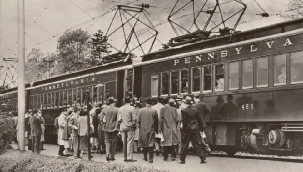
The Paoli/Thorndale Line used to represent the lifeline of the region and helped create what we call the Main Line today, writes Alex Davis for WHYY.
Most 19th-century railroad suburbs weren’t constructed like the Main Line. Smaller towns have always popped up around larger cities like Philadelphia, but they really came into their own with the advent of the railroad.
However, despite Montgomery County’s railroad roots, the car-centric zoning that surrounds the stations on the line ensures that today, most trips are made by car.
This has reduced the mass transit corridor mainly to a much more limited service for trips to Philadelphia.
Very few towns on the Main Line focus on using the railroad’s potential when considering development. In fact, Lower Merion is the only township between East Whiteland and Philadelphia that is even close to optimal use of the railroad.
This car-centric pattern of development forces people to drive instead of using rail service, and the continuation of this focus requires enormous amounts of land, energy, and infrastructure to be supported. In addition, it is putting a huge strain on the region’s environment.
But thanks to its railroad, the Main Line is ideally suited to turn things around and transform itself into a “string of transit-oriented, walkable communities, connected to destinations north and south of the train by frequent bus service,” concludes Davis.
Read more about the issue in WHYY.